
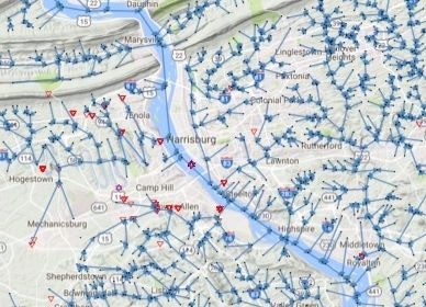
This app was designed to achieve three goals over local regions:
- Given latitude and longitude, build and visualize the directed river network.
- Overlay contours for concentration and coal/well densities.
- Locally fit a semi-parametric model with Coal and Well densities as smoothers and degree network statistics.